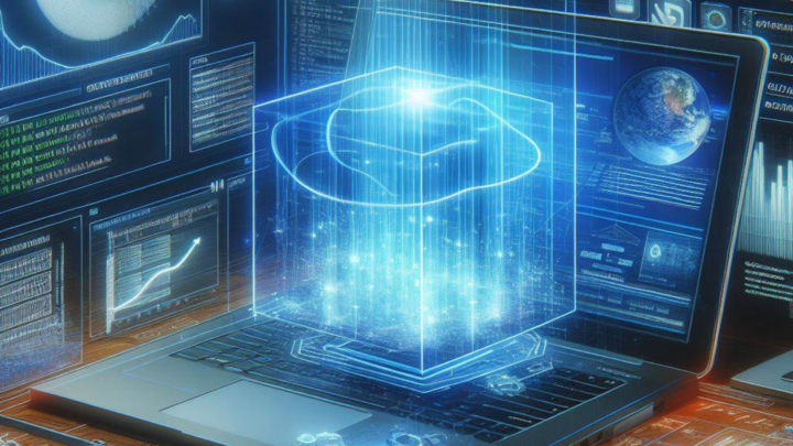
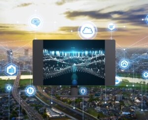
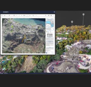
DATA FUSION
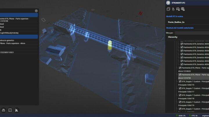
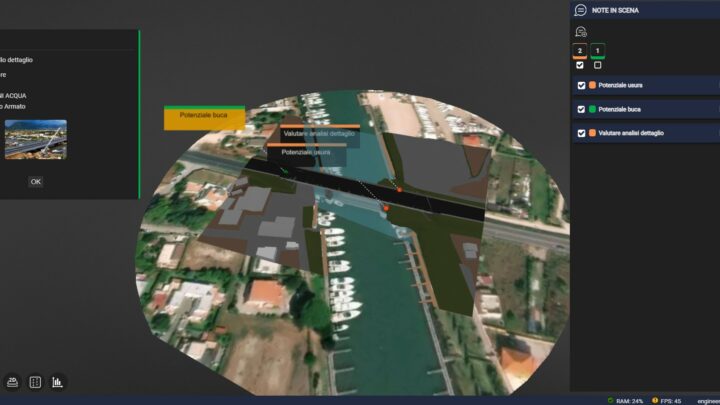
Facilitate the harmonization of technical and administrative documentation by seamlessly connecting corporate platforms, external services, IoT networks, GeoBIM models, video inspections, reports, geotechnical surveys, satellite images, LiDAR or photogrammetric surveys, transforming them into highly efficient resources readily accessible to authorized users.

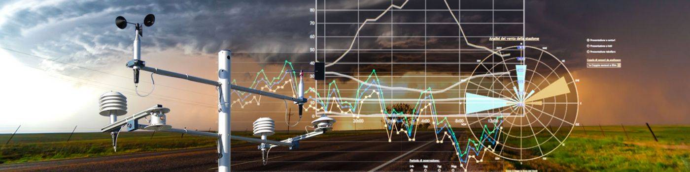
OPEN HUB
Leverage the full potential of your project with our extensive range of Open Data: including real-time weather data, Copernicus Hub resources, base maps (ESRI and OpenStreetMap, etc.), contour lines, environmental 3D models, and objects like earth-moving machinery, pylons, wind turbines, and solar panels. Create your own OGC catalog for dynamic simulations.
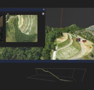
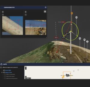
REMOTE ANALYSIS & INSPECTION
Access from anywhere using a simple browser, comment and review data with cloud tools in 2D/3D/4D. Analyze the latest collected data by managing the Digital Twin in a multidimensional environment, via VR viewers. Download the data and work on your CAD and GIS suites always with the most up-to-date and available data.

MULTI-ASSET MANAGMENT
Effortlessly oversee data and users within organizations and portfolios of digital projects, within a secure and scalable cloud architecture. Manage access to sensitive information, including complex data, through role-based controls, while also facilitating simplified sharing of immersive experiences.
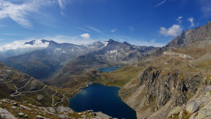
ENVIROMENT
AND TERRITORY
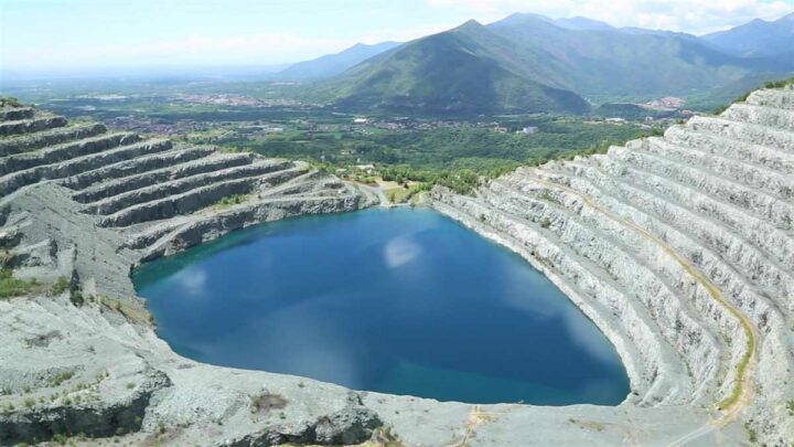
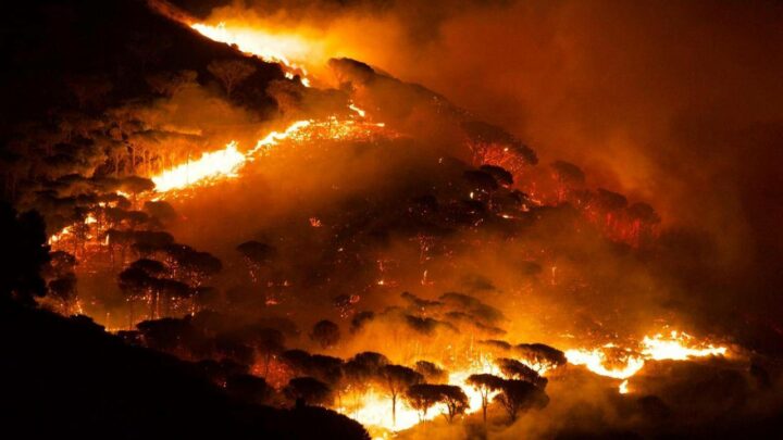
Facilitates the management of protected areas, forest monitoring, natural and archaeological parks, watersheds, marine ecosystems, agricultural zones, and other natural environments. Streamlines ecosystem monitoring activities, environmental impact assessments, enhances environmental risk management and mitigation efforts, and supports the planning of sustainable resource management policies.
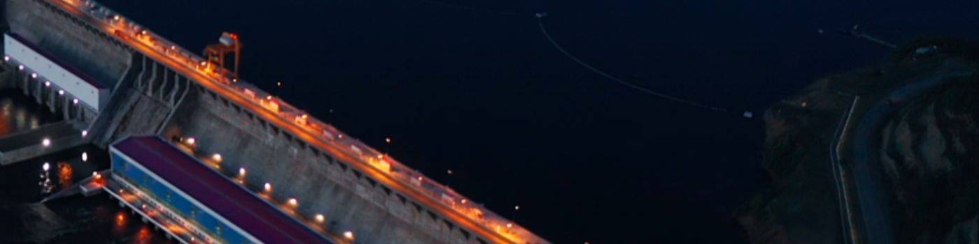
WATER AND ENERGY
OPERATIONS
Management of artificial reservoirs, hydroelectric power plants, water treatment facilities, irrigation systems, and other infrastructure related to the supply and management of water resources. Additionally, it supports the design, monitoring, and maintenance of power generation plants and energy distribution networks, including those related to hydroelectric, solar, wind, and biomass energy.
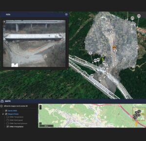
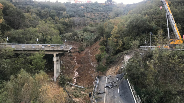
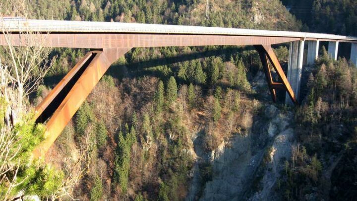
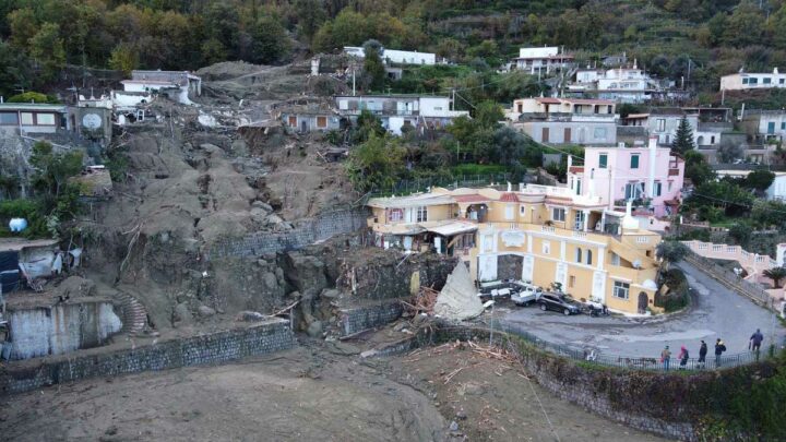
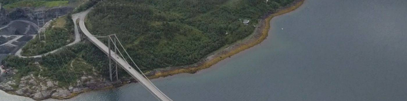
CIVIL AND ENVIRONMENTAL
INFRASTRUCTURE
Management of major civil engineering projects such as skyscrapers, residential and commercial buildings, stadiums, hospitals, and industrial facilities. Environmental infrastructure includes monitoring of glacial and periglacial areas, rockslides, including mining extraction, remediation of contaminated sites, and waste storage facilities. It supports monitoring plans, intervention simulation, and analysis of anthropogenic and environmental interferences.