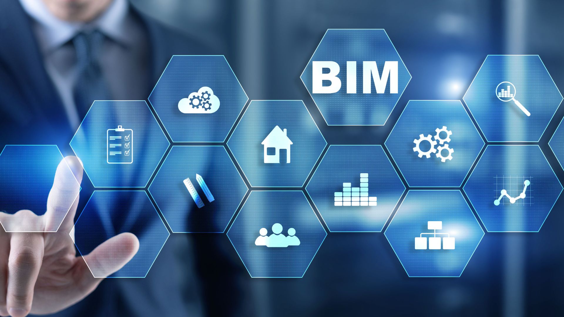
With our extensive experience in the geospatial industry, we offer tailored solutions and basic packages for digitizing and harmonizing historical databases, acquiring and processing images from satellite, aerial, or UAV platforms, Scan2BIM processes, and much more.
The primary solutions identified so far are:
Digital twins
Integration of 3D AS IS surveys, BIM models, open data, and field sensors for building and managing the digital twin.
Simulating new intervention plans or behaviors based on real-time data.
Providing support for Reverse Engineering / Revamping / Retrofitting activities.
Environmental Monitoring
Analysis and management of monitoring plans from diverse platforms.
Satellite (optical and interferometric).
Aerial / Helicopter / Multirotor or Fixed-wing Drones.
Mobile mapping systems, including SLAM technology.
Terrestrial Laser Scanner (architectural and environmental).
AUV (autonomous underwater vehicle).
360° Cameras and Videocameras (including STANAG format).
GBInSAR terrestrial interferometry.
Integration via API with external systems.
Safety review & Analysis
Analysis and management of overall operational safety conditions to support key mitigation operations.
Airspace and subsurface interference.
Handling of vehicles and personnel.
Airside operations.
Analysis of port docking points.
Analysis and management of storage capacity.
Construction life cycle
Analysis and management of monitoring, maintenance, or demolition activities.
Monitoring the progress of AS IS and TO BE work states.
Comparing design plans with as-built – HBIM – BIM.
Analyzing cut and fill volumes (excavations and backfills).
Conducting geotechnical and structural surveys.
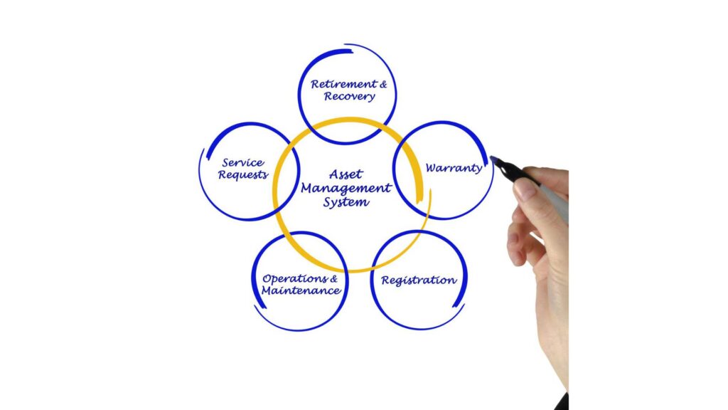
Visual asset management
Visualization of information tailored to diverse needs (from business to operations).
Integration of OpenData services (public WMS and WFS).
Spatial annotations to enhance communication effectiveness and minimize errors.
Management of aggregated maintenance documents linked to 3D models (geoDOC).
Sharing information with all your collaborators.
Internal and external communication optimization.
IoT Analytics
Visualize, analyze, store, and act upon sensor data from the Internet of Things at massive volumes and speeds.
Indoor/outdoor environmental sensors.
Weather stations.
Surveillance camera systems.
DO YOU REQUIRE ADDITIONAL SERVICES?
Data detection
We create the digital extension of your asset using the best availabletechnologiestailored to yourobjectives. Thereis no perfect tool, butrather a variety of technologies, each with itsownstrengthsand weaknesses. Integratingthemallowsus to achieve the best results.
Processing
We analyze, process, and transform your raw data into high-value digital databases. The greater the availability of standardized data, the wider the range of reuseopportunities, leading to sustainableoperationalautonomy
Geographical intelligence
We integrate and processexternal public and private sources to support the intervention plans of your project. The effectiveness of a process can be measured by itsability to strike a balance between the variousinterestsat play.